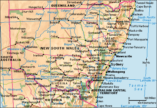
Great Dividing Range runs along the eastern and southern coasts of Australia. It consists of plateaus and mountains. The highest peaks are in the Snowy Mountains area. Mount Kosciuszko, the highest peak, rises 7,310 feet (2,228 meters) above sea level. It is the highest point in Australia.

The Great Dividing Range runs roughly parallel to Australia’s eastern coast. It stretches about 2,175 miles (3,500 kilometers) from the Cape York Peninsula, in northern Queensland, through eastern New South Wales, to the Grampians mountain ranges in western Victoria. From Queensland to Victoria, the Great Dividing Range includes the New England Range, the Blue Mountains, the Australian Alps, and the Grampians. The Great Dividing Range acts as eastern Australia’s main watershed (boundary between two drainage basins). It separates the rivers that flow east to the coast from those that flow west to inland Australia.
Aboriginal peoples have inhabited the Great Dividing Range for thousands of years. Aboriginal peoples are among the Indigenous (native), or First Nations, peoples of Australia. The range spans the traditional lands of many Aboriginal groups, including the Gunaikurnai and the Wurundjeri peoples.
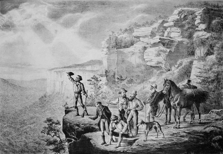
During early European colonization of Australia, the Great Dividing Range prevented settlers near the eastern coast from exploring farther inland. In 1813, the European Australian explorers Gregory Blaxland, William Lawson, and William Charles Wentworth crossed the Blue Mountains, part of the Great Dividing Range. Later that year, the English surveyor George Evans followed the explorers’ route. However, he continued farther westward over the Blue Mountains to an area he later called the Bathurst Plains. Evans’s party became the first colonists to completely cross over the Great Dividing Range. 
In 1815, the English surveyor William Cox and a group of convict laborers built the first road through the Great Dividing Range. This road, later known as the Great Western Road, generally followed Evans’s route over the mountains.
