Lake Macquarie is a coastal lagoon in New South Wales, Australia. It is the largest coastal saltwater lake in Australia, with an area of about 40 square miles (100 square kilometers). Lake Macquarie is about 9 miles (15 kilometers) south of Newcastle. The lake is a popular holiday resort, providing excellent boating and fishing.
Lake Macquarie opens into the sea at Lake Entrance, near the coastal town of Swansea. Other lakeside towns include Toronto, Wangi Wangi, and Belmont. Several small creeks, the largest of which are Dora Creek and Cockle Creek, feed the lake.
Pulbah Island, the largest island in Lake Macquarie, was established as a nature reserve in 1970. It is also a protected Aboriginal cultural site.
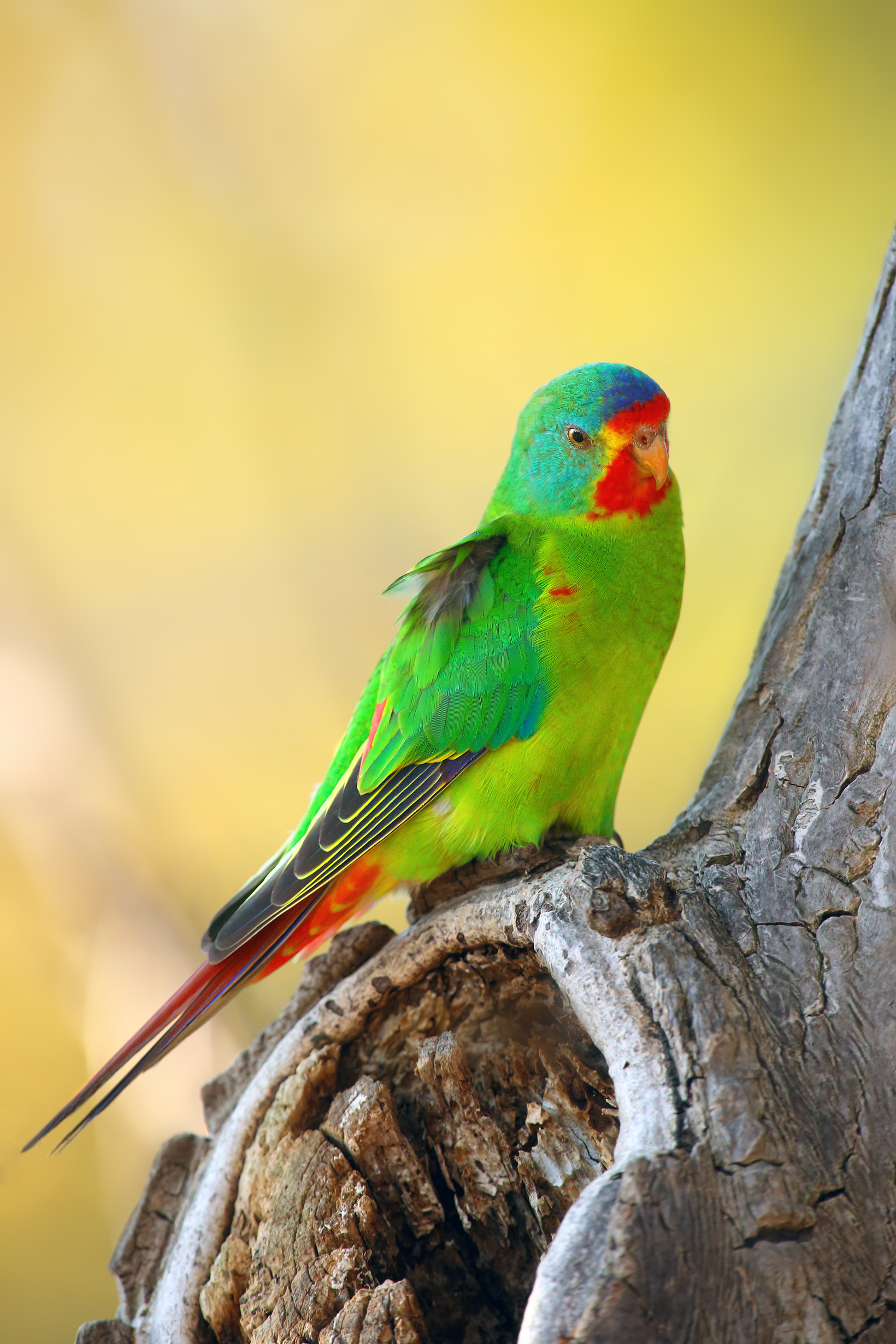
The Lake Macquarie State Conservation Area (SCA) consists of about 2.5 square miles (6.5 square kilometers) of land bordering the lake, including the Point Wolstoncroft peninsula. A peninsula is a piece of land that is nearly surrounded by water. The SCA protects the area’s natural bushland. A wide range of native plants and animals live in the SCA. Some of them, such as the swift parrot and Angus’s onion orchid, are considered endangered by the Australian government.

The Lake Macquarie region has traditionally been inhabited by the Awabakal people, an Aboriginal group from the Mid North Coast area of New South Wales. The Aboriginal name for the lake is Awaba, which means flat or plain surface.
The lake was first encountered by Europeans in 1800. William Reid, a British naval officer, confused the entrance to Lake Macquarie with the Hunter River while searching for a coal deposit. The governor of New South Wales at the time, Philip Gidley King, called the lake “Reid’s Mistake.” In about 1826, it was renamed Lake Macquarie to honor Lachlan Macquarie, another colonial governor of New South Wales.
