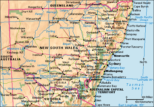
Lachlan River is among the longest rivers in Australia. It is about 832 miles (1,339 kilometers) in length. Only the Murray, Darling, and Murrumbidgee rivers are longer. The Lachlan lies within the Australian state of New South Wales. It is part of the Murray-Darling Basin, an agricultural area that produces much of Australia’s food. The Lachlan is a major source of irrigation for farming communities in the region. 
The Lachlan rises (begins) on the Breadalbane Plain in the Great Dividing Range, just west of the city of Goulburn. From there, it flows generally northwest, passing through the towns of Cowra and Forbes. The river changes course near the town of Condobolin. From that point, it travels generally southwest until it flows into the Murrumbidgee River. During dry periods, the Lachlan River ends at the Great Cumbung Swamp, south of the town of Oxley.
Indigenous peoples, also called First Nations peoples, have lived along the river for thousands of years. The river passes through the traditional lands of the Nari Nari, Ngiyampaa, Wiradjuri, and Yita Yita peoples. In 1815, the British surveyor George William Evans encountered the river near Cowra. He named it in honor of Lachlan Macquarie, the governor of New South Wales from 1810 to 1821. Early European settlers raised livestock and grew wheat in the region. Later, farmers began growing such crops as canola, cotton, and fruits and vegetables. 
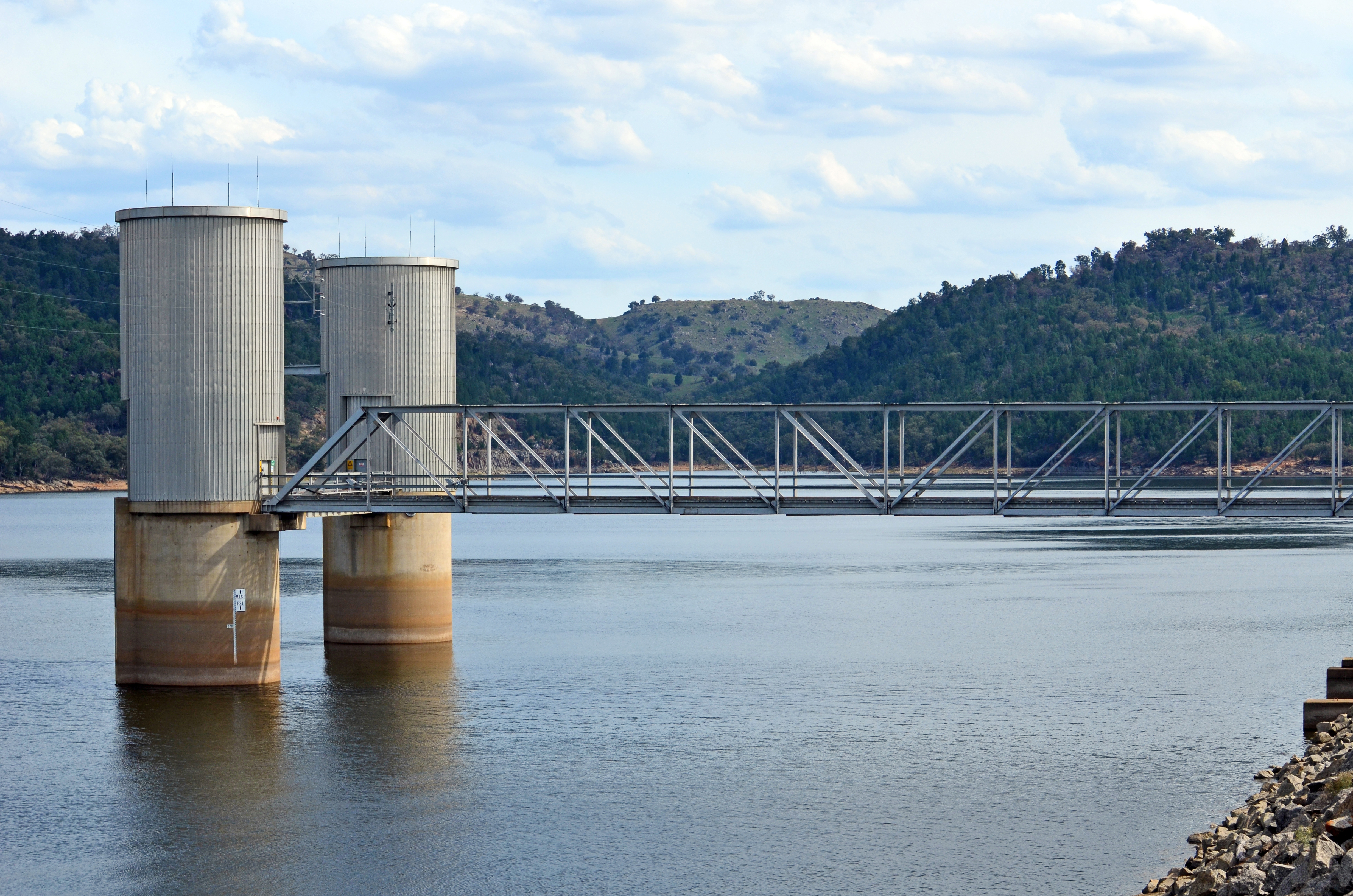
In the early 1900’s, several dams were built along the Lachlan River. The Wyangala Dam, completed in 1935, lies near the junction of the Lachlan and Abercrombie rivers. Today, the dam supplies water for irrigating much of the farmland in the Lachlan Valley region.
