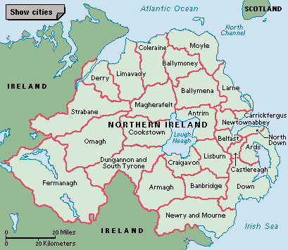
Moyle was a district council area—a kind of local government district—in Northern Ireland from 1973 to 2015. The district, located on the northeast coast of Northern Ireland, was administered from the town of Ballycastle. It took its name from the Straits of Moyle, a phrase once commonly used to describe the narrowest part of the North Channel between Northern Ireland and Scotland.
The Moyle district was in County Antrim, one of Northern Ireland’s six historic counties. The county ceased to be used as an administrative area in 1973. That year, a reorganization of local government divided the county into smaller districts, including Moyle. In 2015, the Ballymoney, Coleraine, Limavady, and Moyle districts were combined to form the Causeway Coast and Glens district.
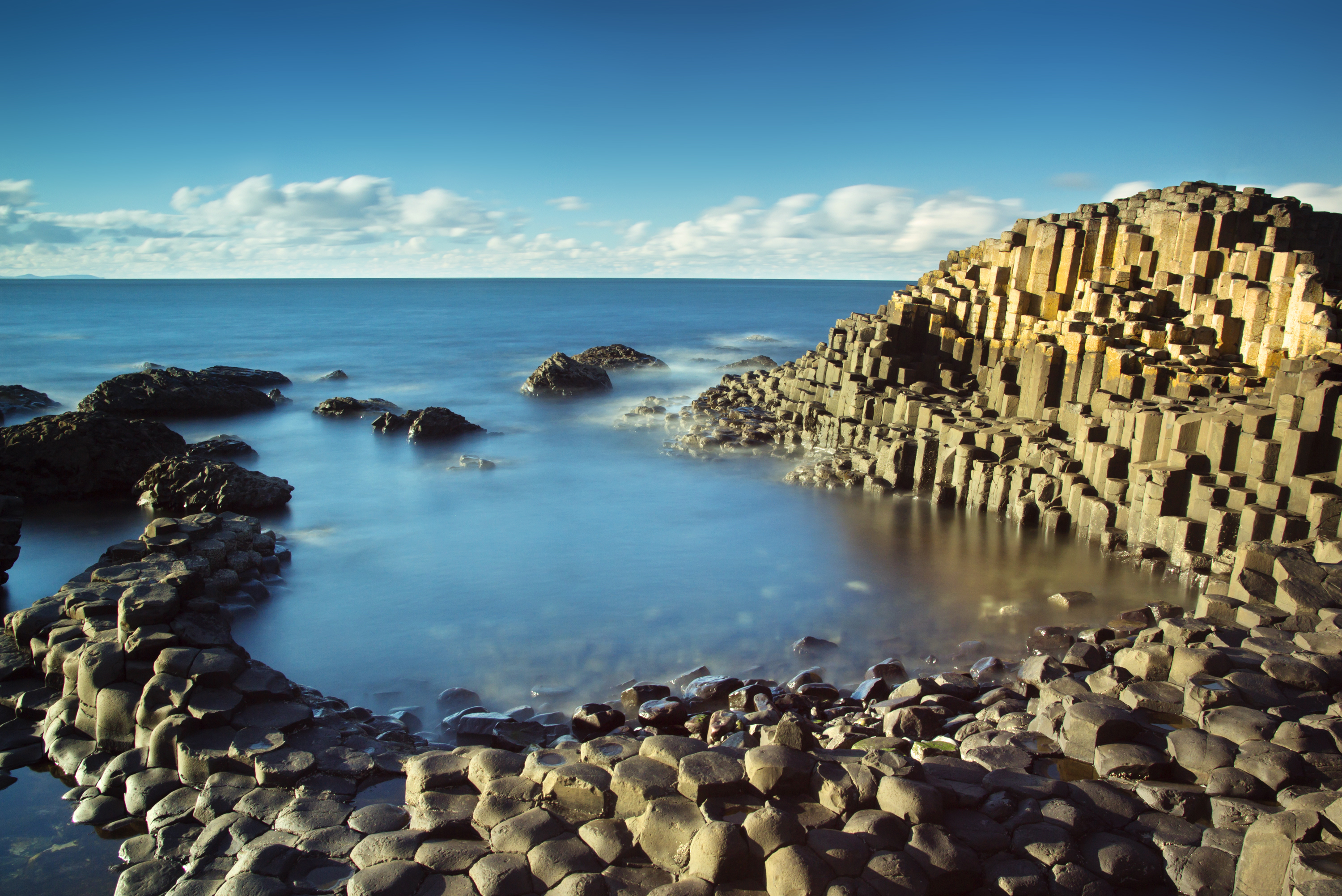
The area that made up Moyle is popular with tourists. It includes a rock formation called the Giant’s Causeway, some sandy beaches, and part of the Glens of Antrim. The area’s economy depends greatly on tourism and agriculture. Farmers grow grain crops and potatoes. They raise sheep and cattle on the hills above the coast. Rathlin Island, Northern Ireland’s northernmost point, lies off the coast north of Ballycastle.


