Pukaskwa, << PUHK uh saw, >> National Park is a rugged wilderness area on the coast of Lake Superior in Ontario, Canada. About halfway between the coastal cities of Thunder Bay and Sault Ste. Marie, the park has more than 75 miles (120 kilometers) of rocky shoreline on Lake Superior. It has a land area of 464,100 acres (187,800 hectares). The park opened in 1983.
Pukaskwa National Park is part of the Canadian Shield, a huge, rocky region that curves around Hudson Bay. Several rivers—the Cascade, Pukaskwa, Swallow, White, and Willow—flow through the park. Much of the land is covered by forests of balsam fir, black spruce, and white spruce trees. The park has a cool climate that also supports some Arctic-alpine plants.
Animals living in Pukaskwa National Park include black bears, beavers, snowshoe hares, lynxes, moose, squirrels, and wolves. There is also a small herd of woodland caribou. About 200 kinds of birds, including herons and loons, can be seen in the park. Park waters contain pike, salmon, walleye, whitefish, and several kinds of trout.
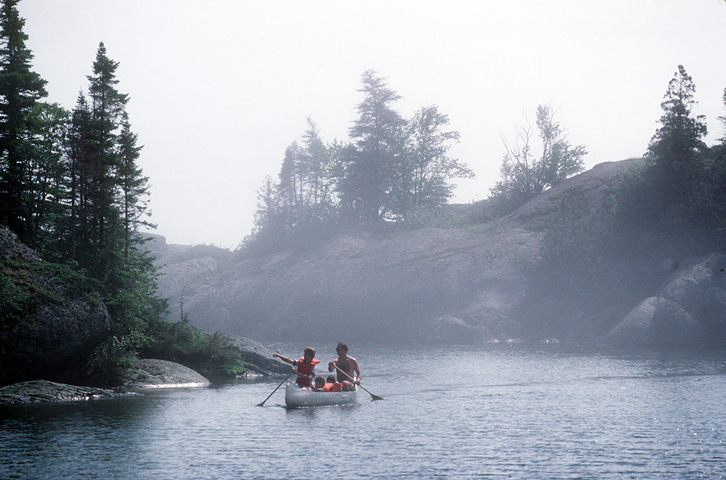
Visitors take part in such activities as camping, canoeing, fishing, hiking, snowshoeing, and cross-country skiing. The Coastal Hiking Trail winds through the park’s forests and along its coastline for 37 miles (60 kilometers). The shoreline is dotted with Pukaskwa Pits—shallow holes dug along beaches by ancient peoples. The pits, which measure about 3 to 8 feet (1 to 2.5 meters) long and 5 feet (1.5 meter) deep, are considered sacred by local First Nations people—that is, native peoples of Canada.
