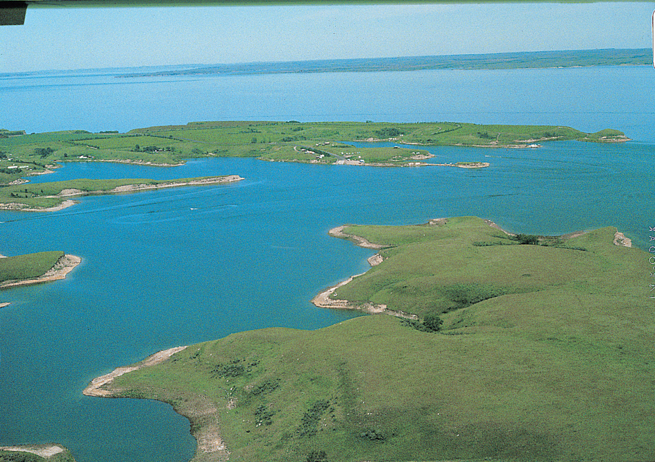
Lake Sakakawea, << sah kah kuh WEE uh, >> is one of the largest artificially created lakes in the United States. It extends west from Riverdale, North Dakota, to near the state’s border with Montana. The lake, which was formed in the 1950’s by the building of Garrison Dam, has an area of about 368,000 acres (149,000 hectares)..
Construction of Garrison Dam started in 1947 as part of the U.S. government’s Missouri River Basin development program. Government engineers built the dam to control flooding and to provide water for wildlife habitats, recreation, irrigation, and hydroelectric power generation. The first of the dam’s five generating units began to produce power in 1956.
Much of Lake Sakakawea is surrounded by the Fort Berthold Indian Reservation, which was established in the 1850’s for the Arikara, Hidatsa, and Mandan people, who today are known as the Three Affiliated Tribes. After Garrison Dam was completed, the river valley filled with water and a large portion of the reservation was flooded. The flooding caused the loss of several Native American villages and of river bottom lands that had been used for agriculture for hundreds of years. For these losses, the Three Affiliated Tribes reluctantly accepted a compensation agreement offered by the U.S. government.
Recreational areas along the lake include several state parks. Other areas of interest near the lake include the Audubon National Wildlife Refuge, Little Missouri National Grasslands, and the Fort Union Trading Post National Historic Site.
During the Lewis and Clark expedition in the early 1800’s, the explorers described the region in their journals. The lake is named for Sacagawea, a Shoshone woman who accompanied the expedition in 1805 and 1806.
See also Garrison Dam .

