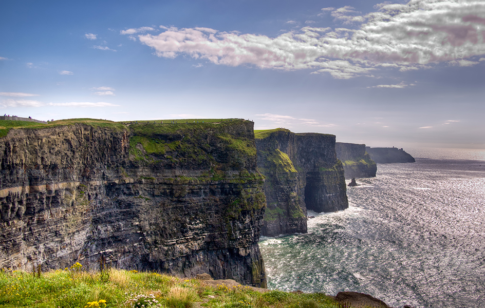
Cliffs of Moher, << MOH air, >> rise near the town of Doolin, County Clare, on the west coast of Ireland. The sandstone, shale, and siltstone cliffs stretch along the churning waters of the Atlantic Ocean for nearly 5 miles (8 kilometers). The vertical cliffs have sheer drops ranging from about 400 feet (120 meters) to a high point of 702 feet (214 meters). In Irish, the cliffs are called Aillte an Mhothair. The southernmost point of the cliffs is near a cliff formation called Hag’s Head, or Ceann na Cailleach in Irish. The northernmost point is near the village of Doolin. The sea below a headland called Aill na Searrach is known for huge, pounding waves and surf.

The cliffs and surrounding area have been designated a Special Area of Conservation and Refuge for Wildlife. The cliff ledges support lichens, grasses, and other plants. Below the cliffs, the sea abounds with humpback whales, basking sharks, dolphins, seals, otters, and a variety of marine animals and plants. Numerous colonies of seabirds nest throughout the cliffs, including guillemots, Atlantic puffins, and razorbills.
O’Brien’s Tower, built in 1835, stands on a headland near the cliffs’ highest point. On clear days, the spectacular view includes the Aran Islands, Galway Bay, and the peninsula of Connemara. Today, many thousands of tourists visit the Cliffs of Moher each year, making the coastal feature one of Ireland’s most popular destinations. Exhibits at the visitor center explain the geological origins of the cliffs and describe the wildlife of the area.
