Guangxi << gwahng shee >> is the most populous autonomous region in China. Its name is sometimes spelled Kwangsi. The Chinese government created the autonomous regions for China’s largest minority groups. The autonomous regions operate under the Chinese government, but they also have powers to pass laws related to ethnic group affairs. The Zhuang are the largest minority group in the region. The region’s full name is the Guangxi Zhuang Autonomous Region.
Guangxi is in southeastern China. It has an area of 85,100 square miles (220,400 square kilometers). Nanning is Guangxi’s capital and largest city.
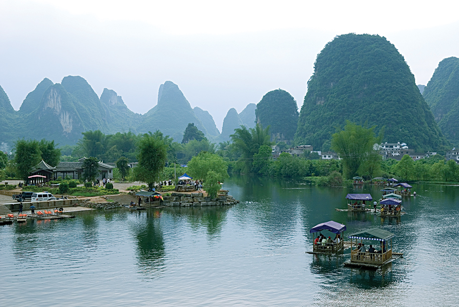
The land of Guangxi is largely mountainous. Plains and hills cover the central and southeastern areas. Guangxi borders Vietnam to the southwest. The southern part of Guangxi has a coastline on the Gulf of Tonkin. The Xi Jiang (West River) flows through the region. Guilin and other locations in Guangxi have free-standing pillars of limestone rock. These pillars are known as karst formations. Guangxi has a subtropical climate.
Guangxi has significant deposits of bauxite, coal, iron, manganese, and tin. Its main crops include bananas, corn, pineapples, rice, sugar cane, sweet potatoes, and wheat. Manufactured products in the region include aluminum, automobiles, chemicals, construction materials, and sugar. Fishing products and timber are also important to Guangxi’s economy.
Guangxi became part of China when the Qin (221-206 B.C.) conquered the area in 214 B.C. A dynasty is a series of rulers from the same family. Guilin, in northern Guangxi, served as an administrative center in the region for more than a thousand years. Nanning became the provincial capital in the 1900’s. China established Guangxi as an autonomous region in 1958.
