Causeway Coast and Glens is a local government district in the northern part of Northern Ireland. Lough Foyle (Lake Foyle) and the Atlantic Ocean form its northern borders. At the time of the 2021 census, the district’s population was 141,746. The district covers an area of 764 square miles (1,980 square kilometers). Its headquarters are in Coleraine.
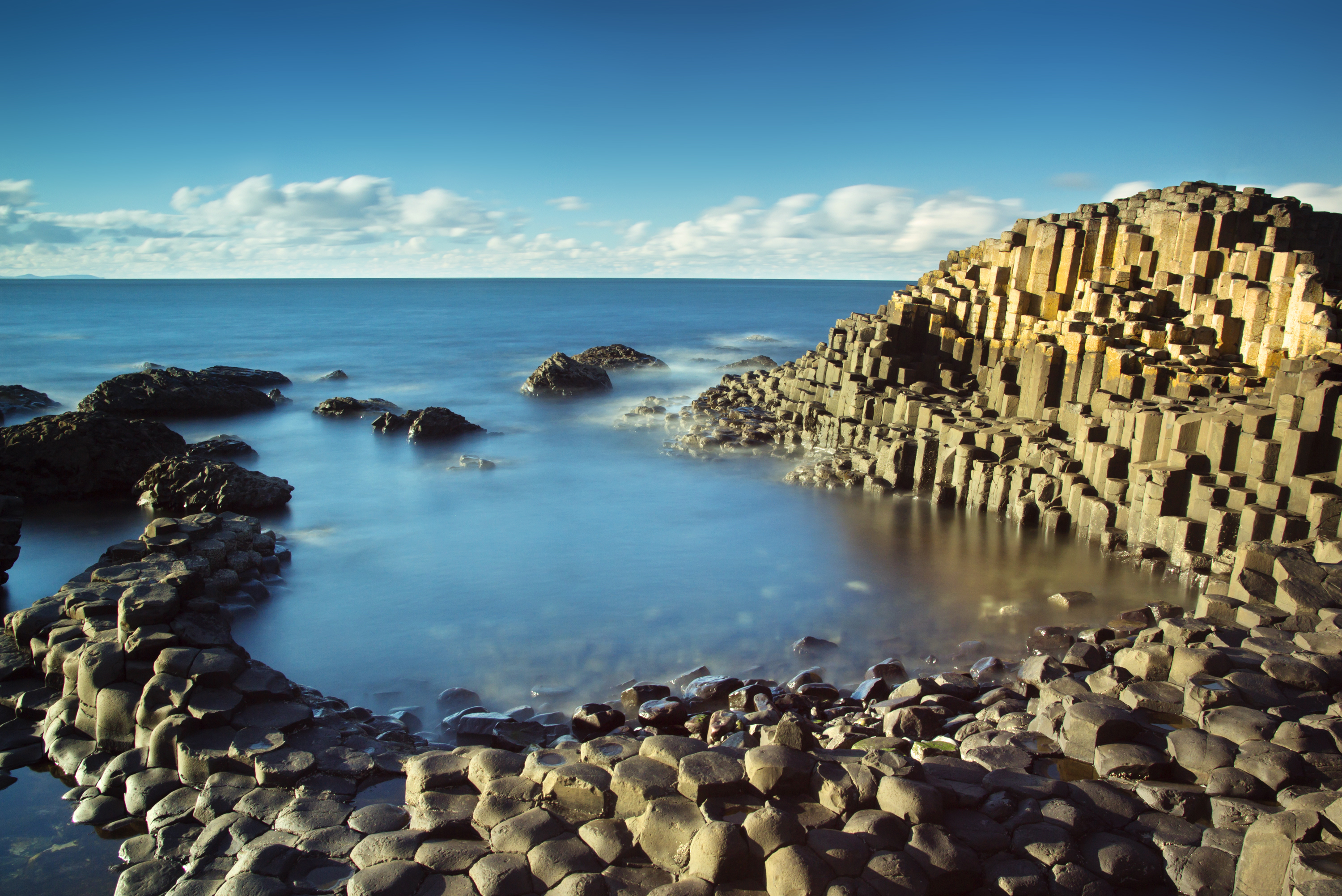
The town of Coleraine is an industrial center and a market town and port. Resort towns near Coleraine include Castlerock, Portrush, and Portstewart. The Ballymoney area lies in the valley of the River Bann. The lands near the market town of Limavady, on the River Roe, include both mountains and beaches. The Moyle area is centered on the town of Ballycastle, on the northeast coast. It takes its name from the Straits of Moyle, a name once commonly used to describe the narrowest part of the North Channel between Northern Ireland and Scotland. It includes a rock formation known as the Giant’s Causeway. 
Service industries—including education, health care, hotel and food services, trade, and transportation—employ most of the district’s workers. Manufacturing, agriculture, fishing, and construction are also important employment sectors. Farmers in the rural parts of the district grow hay, oats, and potatoes and raise cattle, pigs, poultry, and sheep. Traditional industries in the region include fishing and the manufacture of textiles and Irish whiskey.
The present area of Causeway Coast and Glens was once part of the traditional counties of Londonderry and Antrim. The counties ceased to be used as administrative areas when local government was reorganized into smaller districts in 1973. In 2015, the Ballymoney, Coleraine, Limavady, and Moyle districts were combined to form the Causeway Coast and Glens local government district.
