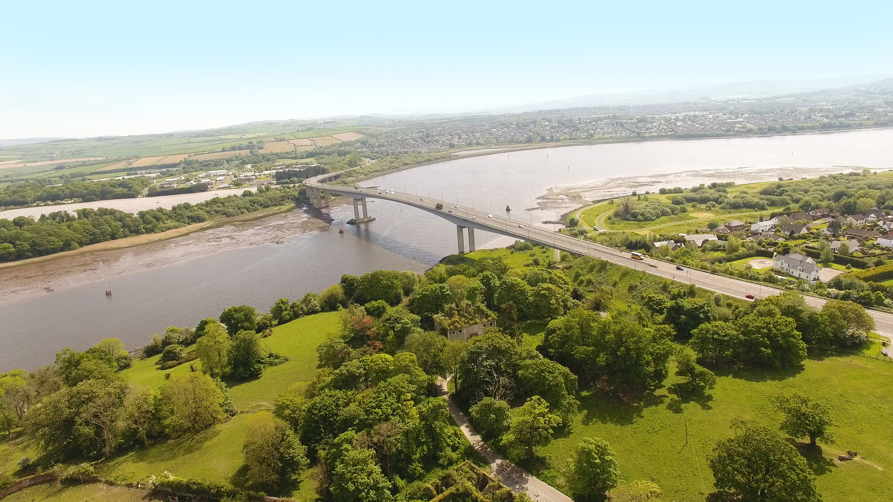
Derry City and Strabane is a local government district in northwestern Northern Ireland. Lough Foyle (Lake Foyle), an inlet of the Atlantic Ocean, forms its northern border. The Republic of Ireland lies along the district’s western border. At the time of the 2021 census, the district’s population was 150,756. The district covers an area of 478 square miles (1,237 square kilometers). It has council offices in the city of Derry (also known as Londonderry) and Strabane town.
The district includes Derry, a seaport and the second largest city in Northern Ireland. Only Belfast, the capital, has more people. Strabane, to the south, is a market town for a rich agricultural area. Most farms raise sheep and cattle. Small farmers in the region raise various crops and animals.
Most of the workers in Derry City and Strabane are employed in service industries, which include social work and other government services, health care, education, real estate, and retail and wholesale trade. The construction and manufacturing sectors also remain important. In the mid-1800’s, Derry became famous as one of the world’s leaders in shirt manufacturing. The industry declined steadily, however, between the mid- and late 1900’s.
The present district of Derry City and Strabane lies in the historic counties of Tyrone and Londonderry. The counties ceased to be used as administrative areas when local government was reorganized into smaller districts in 1973. In 2015, the Strabane and Derry districts were combined to form the Derry City and Strabane local government district.
