Inertial guidance is a method of guiding a submarine, missile, spacecraft, or other vehicle by continuously monitoring its position and acceleration, and adjusting its course. Unlike other methods of navigation, inertial guidance does not rely on information from outside the vehicle, such as observations of land or the stars, or radio or radar signals. Instead, it relies on inertia, the tendency of a moving object to resist a change in direction. In wartime, enemies cannot “jam” an inertial guidance system with false or confusing information.
An inertial guidance system, also called an inertial navigation system or inertial reference system, consists of stabilizing devices, measuring devices, and a computer to calculate the vehicle’s position and guide it on its course. The stabilizing devices are gyroscopes, which maintain a constant direction. The measuring devices are accelerometers, which detect changes in speed and direction.
An inertial navigation unit measures how far a vehicle has traveled by recording changes in the position of a vertical line. This line indicates the direction to the center of the earth. Vertical lines from any two points on the earth meet at the center of the planet. The angle between the lines indicates the distance between the points. Each minute (one-sixtieth of a degree) of angle indicates a surface distance of one nautical mile (6,076.1 feet, or 1,852 meters). New York City is 3,006 nautical miles from London. Therefore, a pilot flying from New York City to London knows the airplane has gone far enough when the vertical line of the inertial navigator has moved through an angle of 3,006 minutes (50°, 6 minutes).
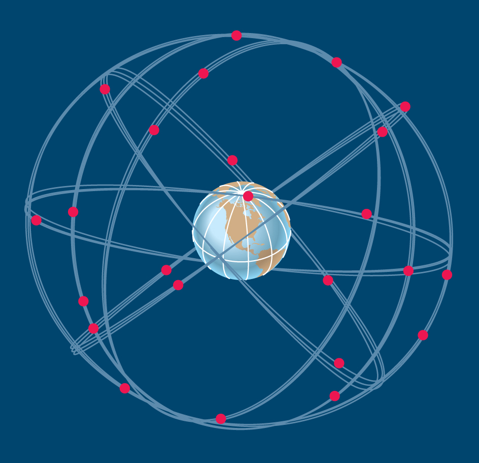
Any error in an inertial guidance system will increase the farther a vehicle travels. To reduce navigation errors, a system constantly checks its output against an independent source of position information and corrects it when necessary. Such sources include radio beacons on the ground and the Global Positioning System, a worldwide system of navigation satellites (see Global Positioning System ).

Gyroscopic systems
have long been used in inertial guidance. Inside a gyroscopic system, three wheellike gyroscopes, called gyros for short, spin in different directions on axles. The axles form 90° angles with one another, like three edges of a box meeting at a corner. The axles keep their directions as long as the gyros spin. The gyros stabilize a type of table called a platform so that it remains horizontal to the earth’s surface even when the vehicle rolls, pitches, or turns. The accelerometers, which are mounted on the platform, detect changes in the vehicle’s motion in reference to the stable set of directional lines defined by the gyroscopes.
When a missile, fighter airplane, or other vehicle turns, dives, or climbs sharply, a platform may move from its horizontal position. A platform that leaves horizontal is said to “tumble.” A tumbled platform will not work until it has been reset to horizontal.
Strap-down systems
are rigidly fastened to aircraft and do not depend on platforms. They incorporate ring laser gyros (RLG’s) or fiber-optic gyros (FOG’s). These instruments are not true gyroscopes, but they perform a similar function using light waves. An RLG or FOG sends two beams of light around a loop in opposite directions. The two beams meet on a detector, forming an interference pattern (series of bright and dark bands), which indicates differences in the routes the beams have taken. When the RLG or FOG turns, the interference pattern changes, and a computer calculates direction based on variations in the pattern. RLG’s and FOG’s can withstand violent motion better than traditional gyroscopes can.
History.
Navigators have known the principles of inertial guidance since the early 1900’s. Ships have used gyroscopes as compasses since that time. Unlike magnetic compasses, these gyrocompasses always indicate true north and are not affected by steel. In 1923, the German engineer Max Schuler described a method for establishing a vertical line that would not tilt when a vehicle changed speed or direction.
During World War II (1939-1945), German scientists built an inertial guidance system that guided their V-2 rockets against England. In the late 1940’s and early 1950’s, the American engineer Charles S. Draper and other scientists at the Massachusetts Institute of Technology built the first highly accurate inertial guidance systems. In 1958, two United States submarines used inertial navigators to guide them under the Arctic ice to the North Pole. Since the early 1960’s, many submarines and missiles have been equipped with inertial navigators. Many spacecraft also use inertial navigators. The United States requires commercial overseas flights to have inertial guidance systems. Some land vehicles, such as tanks, also use inertial guidance systems.
