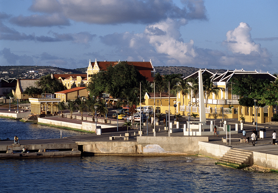
Netherlands Antilles, << an TIHL eez, >> was a part of the Kingdom of the Netherlands that consisted of islands in the Caribbean Sea. The Netherlands Antilles existed as a political unit from 1954 until 2010. It consisted of two groups of islands. One group included Aruba, Bonaire, and Curaçao, about 50 miles (80 kilometers) north of Venezuela. The other group included Saba, Saint Eustatius, and the southern part of Saint Martin. These islands are part of the Leeward Islands, about 160 miles (257 kilometers) east of Puerto Rico. Willemstad, on Curaçao, served as the capital of the entire Netherlands Antilles.
The Spanish first occupied Curaçao in 1527. The Dutch captured the Antilles area between 1630 and 1654. They used the area primarily for the slave trade. In 1845, the islands were united to form a colonial territory. The territory had a governor appointed by the Dutch monarchy. By the 1920’s, large oil refineries were operating on Curaçao and Aruba. After World War II (1939-1945), these islands sought greater autonomy (self-government). In 1954, the Netherlands Antilles became a largely self-governing territory of the Kingdom of the Netherlands.
Due to a dispute with Curaçao, Aruba separated from the Netherlands Antilles in 1986. It became largely autonomous. Referendums (direct votes by the people) held from 2000 to 2005 determined the future of the remaining islands. The people of Curaçao and southern Saint Martin voted for more autonomy. The people of Bonaire, Saba, and Saint Eustatius voted for less.
The Netherlands Antilles dissolved in 2010. Curaçao and southern Saint Martin became autonomous countries within the Kingdom of the Netherlands, like Aruba. Bonaire, Saba, and Saint Eustatius became overseas municipalities of the Kingdom of the Netherlands. The overseas municipalities have a status similar to that of towns in the Netherlands.
See also Aruba ; Curaçao ; ; Willemstad .
