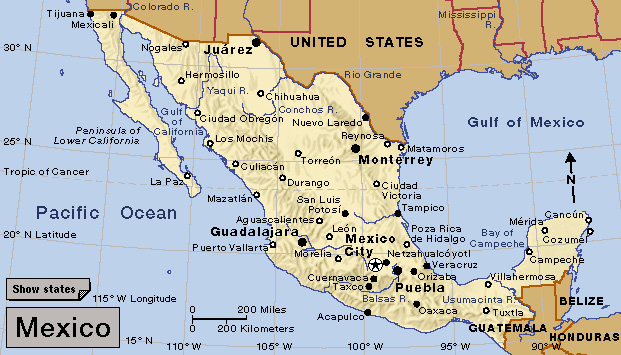
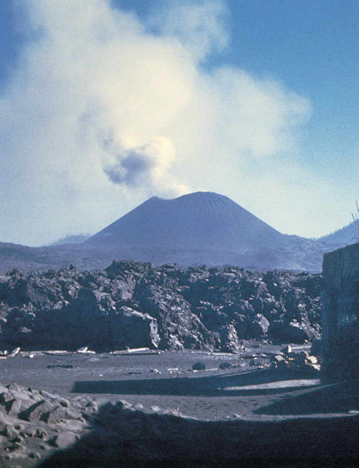
Paricutín, << puh `REE` kuh TEEN, >> is a volcanic mountain in the Western Hemisphere. Paricutín is a cinder cone, a type of mound that forms from eruptions depositing material around a central vent. It stands near the city of Uruapan in southwestern Mexico. It was named for the village of Paricutín, which was destroyed in the eruption.

Paricutín began as a crack in the ground in a cornfield on Feb. 20, 1943. Volcanic material began to erupt from the crack and built up around it to form a cone. By the end of one week, the cone stood over 325 feet (100 meters) high. In one year, it reached 1,102 feet (336 meters). Paricutín’s lava destroyed the villages of Paricutín and San Parangaricutiru and damaged several other villages. It also turned an area of farmland and forests into wasteland before it appeared to cease activity in 1952.

Today, Paricutín stands 1,391 feet (424 meters) above its base and about 10,400 feet (3,170 meters) above sea level. Lava from Paricutín covers about 9 square miles (24 square kilometers), and volcanic ash and sand extend over 19 square miles (50 square kilometers). Paricutín, like many other cinder cones in southern Mexico, is part of the Volcanic Axis, also called the Transversal. The Volcanic Axis is a line of volcanoes that extends across Mexico in an east-west direction.
See also Seven natural wonders of the world ; Volcano .
