Sinai << SY ny >> Peninsula is the part of Egypt that lies east of the Suez Canal and the Gulf of Suez and borders western Israel. It covers about 23,400 square miles (60,700 square kilometers) in southwestern Asia and has about 600,000 people.
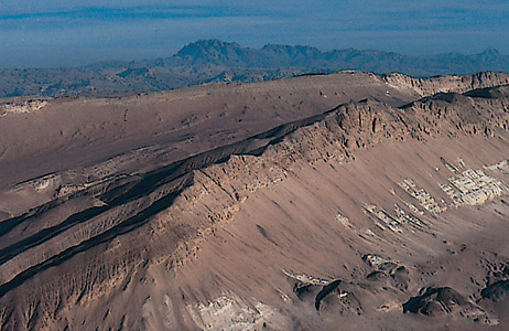
The Sinai Peninsula is a dry land with a few small oases. It has a sandy coastal plain in the north, a high limestone plateau in its center, and mountains in the south. The area has deposits of petroleum, manganese, and other minerals. Sharm el-Sheikh (also spelled Sharm ash Shaykh) is a popular resort city on the peninsula’s southern tip.
The western part of Egypt and the Sinai Peninsula were first linked together as a province of the Islamic Empire in the A.D. 600’s. In 1906, an agreement between the United Kingdom and the Ottoman Empire gave Egypt control over the peninsula. Israeli troops occupied the Sinai during the 1967 Arab-Israeli war. The Israelis completely withdrew from the Sinai Peninsula by 1982. However, a border dispute at Taba on the Gulf of Aqaba continued until 1989.
