Weather satellite is an instrument in orbit around the earth that is used to study and forecast the weather and climate. Weather satellites measure several forms of electromagnetic radiation (energy moving through space), including ultraviolet and visible light, infrared radiation, and microwave radiation. Measurements from satellites help scientists detect storms and provide scientists with information on atmospheric properties. These properties include temperature, humidity, precipitation, ozone concentration, and wind speed and direction.
Weather satellites also measure the earth’s radiation budget, the total amount of electromagnetic radiation entering and leaving the earth’s atmosphere. Measuring the radiation budget is essential to monitoring climate.
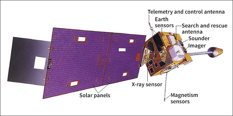
Most weather satellites travel in low-altitude orbits that cross the equator and both poles. These satellites orbit from 430 to 780 miles (700 to 1,250 kilometers) above the surface. They circle the earth about every 100 minutes as the earth turns, viewing the entire surface twice each day. Other weather satellites are geostationary, remaining in orbit about 22,240 miles (35,790 kilometers) above the same point on the equator. Most weather-satellite images shown on television come from geostationary satellites.
