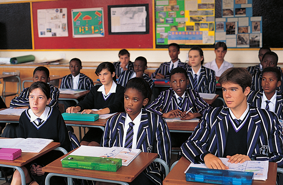
Gauteng is the smallest but most populated province in South Africa. It occupies 7,019 square miles (18,178 square kilometers) in the northeastern part of the country. Johannesburg is Gauteng’s capital and the largest municipality in South Africa. Tshwane (Pretoria), one of the largest municipalities in Gauteng, is the administrative capital of South Africa. A municipality may include rural areas as well as the urban center. Black Africans form the largest ethnic group in Gauteng. The main languages spoken in the province are Zulu (isiZulu), Sesotho, Sepedi, Tswana (Setswana), English, Afrikaans, Tsonga (Xitsonga), and Xhosa (isiXhosa).
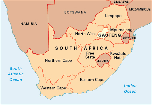
When the Union of South Africa was formed in 1910, present-day Gauteng was part of the Transvaal province. In 1994, it became a separate province known as PWV, after three of the area’s major urban centers: Pretoria, the Witwatersrand (a region that includes Johannesburg), and Vereeniging. The province was named Gauteng, meaning place of gold, in 1995.
Economy.
Gauteng is the main financial and trading center of southern Africa. The province contributes about one-third of South Africa’s gross domestic product (GDP)—that is, the value of goods and services produced within the country in a year.
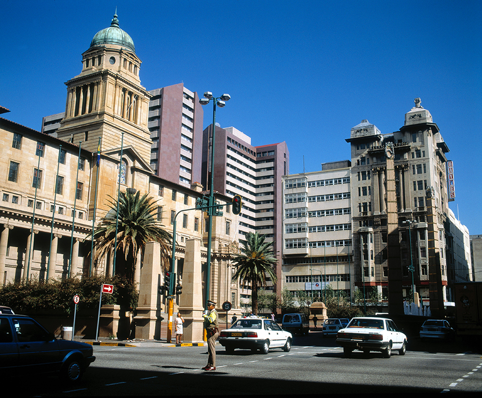
Gauteng’s chief economic activities include manufacturing, service industries, mining, and agriculture. Many of the most important financial, banking, and administrative offices in South Africa are in the cities of Gauteng. The JSE Securities Exchange, the largest stock exchange in Africa, is in Johannesburg.
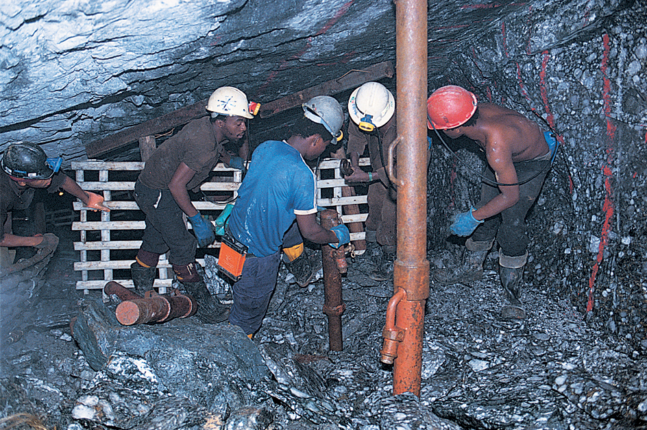
Gold was first discovered in the Gauteng area in 1886. Today, gold is mined in the eastern and western parts of the Witwatersrand, called the East Rand and West Rand. The Western Deep Levels Mine, at more than 2 1/2 miles (4 kilometers) deep, is the world’s deepest mine. Coal, diamonds, silver, and uranium are also mined in Gauteng. The province’s leading agricultural products include corn, dairy products, and meat.
Gauteng has South Africa’s busiest and densest road and rail networks. OR Tambo International Airport in Johannesburg is South Africa’s largest airport.
Land.
Gauteng is on the Highveld, part of the Plateau that covers most of South Africa’s interior. Most of Gauteng lies between 5,000 and 6,600 feet (1,520 and 2,010 meters) above sea level. The northern part of the province is slightly lower, between 3,300 and 5,000 feet (1,010 and 1,520 meters) above sea level. The Magaliesberg mountain range runs from east to west across Gauteng.
The natural vegetation of the Highveld is temperate grasslands, known locally as veld. However, most natural vegetation in Gauteng has been cleared for urban and agricultural development.
The Witwatersrand features a series of rocky ridges that extends for about 50 miles (80 kilometers) across central Gauteng. The highest of these ridges rises 5,735 feet (1,748 meters). The Witwatersrand forms a watershed (ridge between river systems) of the southern part of Africa. Rivers flowing north of Johannesburg join the Crocodile River, which flows into the Limpopo River and into the Indian Ocean. Rivers flowing south of Johannesburg are tributaries of the Vaal River, which joins the Orange River and flows into the Atlantic Ocean.
History.
People have lived in what is now Gauteng since prehistoric times. Some of the earliest known fossil remains of humanlike creatures were discovered at Sterkspruit Cave, near Krugersdorp. The descendants of these prehistoric Africans hunted and gathered in the region for many years.
Around A.D. 400, groups who spoke various Bantu languages moved into the region from the north. They raised cattle, grew grain, made tools and weapons, and traded among themselves. Many of the Bantu-speaking people eventually grouped together to form chiefdoms.
In the 1820’s, Mzilikazi, the leader of the Ndebele people, invaded the region from the southeast and established a capital near present-day Pretoria. During the 1830’s, pioneers known as voortrekkers came into the region from the south. Voortrekkers were farmers of Dutch and other European descent—also called Boers—who had migrated from the nearby Cape Colony to get away from British colonial rule. The voortrekkers defeated Mzilikazi and drove him from the region in 1837. The British recognized Boer independence in the region—which the Boers called the Transvaal—in 1852. Marthinus Pretorius, a voortrekker leader, established the town of Pretoria in 1855.
In 1877, the British took control of the Transvaal, but the Boers revolted in 1880. The first Anglo-Boer War (also called the Anglo-Transvaal War) followed in 1880 and 1881. After the British withdrew from the Transvaal in 1881, the Boers renamed the region the South African Republic (SAR).
The discovery of gold on the Witwatersrand in 1886 was a major turning point in the history of the region. Johannesburg, founded that year, developed as a mining town and quickly became an important urban center. As the SAR grew economically, Cape Colony Prime Minister Cecil Rhodes believed that British supremacy in the region was threatened. In 1895, Rhodes organized an attempt to overthrow the SAR’s government, but the effort was unsuccessful.
The United Kingdom eventually defeated the Boers in the second Anglo-Boer War (also called the Boer War or South African War), which lasted from 1899 to 1902. After the war, the Transvaal became a British colony. In 1906, the British gave the colony self-government, and Louis Botha became its prime minister. In 1910, the colonies of the Transvaal, the Orange Free State, the Cape Colony, and Natal formed the Union of South Africa, a self-governing country within the British Empire. Botha became the first prime minister of the union, and Pretoria became its administrative capital.
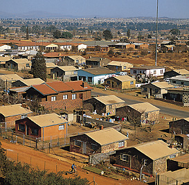
In 1948, the government of South Africa began a program of strict racial segregation, called apartheid. The Transvaal region soon emerged as the center of resistance to the program. In 1960, police shot and killed 69 antiapartheid demonstrators in the black African township of Sharpeville (now part of Vereeniging). In 1976, police fired on a protest march by schoolchildren in Soweto (now part of Johannesburg). The protests that followed the 1976 incident became known as the Soweto uprising.
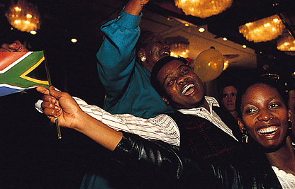
In the early 1990’s, South Africa repealed the last of its apartheid laws. In 1994, South Africa held its first multiracial democratic elections. That same year, the provincial boundaries changed, and PWV was established, with Johannesburg as its capital. The African National Congress came to power in the provincial legislature, which in 1995 changed the province’s name to Gauteng. The Constitutional Court of South Africa opened in Johannesburg in 1995.
See also African National Congress (ANC); Anglo-Boer Wars; Apartheid; Great Trek; Johannesburg; Pretoria; South Africa; South Africa, History of; Transvaal.
