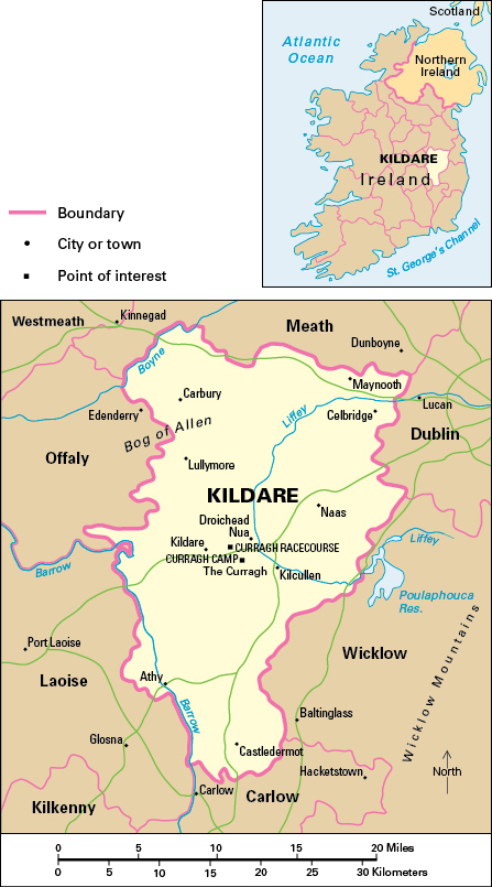
Kildare, County, lies in the province of Leinster in the Republic of Ireland. It is an inland county in the lowland of east central Ireland. County Kildare is the center of Irish horse breeding and training. The main centers of services and manufacturing are Naas and Droichead Nua (Newbridge). Leixlip, the largest town, is a center for people who commute daily to work in Dublin. County Kildare covers an area of 654 square miles (1,694 square kilometers).
Most of the people are Roman Catholics. Most of the rest belong to the Church of Ireland or claim no religious affiliation. Both churches have a diocese of Kildare. The Church of Ireland cathedral of St. Brigid is in the town of Kildare on the site of an ancient monastery.
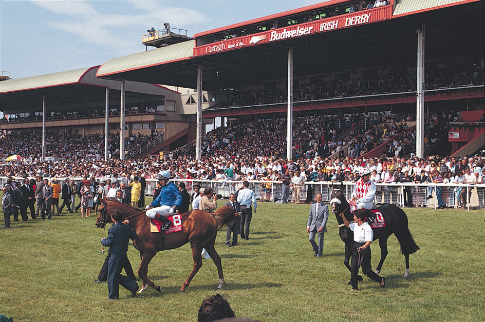
Clongowes Wood College, a Jesuit boys’ school, is in Clane. St. Patrick’s College, Maynooth, opened in 1795 to train Roman Catholic clergy, but it later became a college of the National University of Ireland. The Irish Military College, the main army camp in the Republic of Ireland, is in the Curragh. The Curragh is a large area of open grassland.
Economy.
Many farmers in County Kildare raise beef cattle, and some raise dairy cattle and sheep. The main horse-breeding area is the Curragh. The main crops are barley, sugar beets, and wheat.
The chief manufacturing centers are Athy, Naas, and Droichead Nua. The main types of manufacturing are food processing, light engineering, and the production of textiles and clothing. Other products include building materials, carpets, rope, and telecommunications equipment.
Many of the people of County Kildare work in service industries, particularly retail and wholesale distribution. Other major services include defense, education, finance, health, and public administration.
The county’s quarries supply stone, sand, and gravel. Hydroelectric power stations on the River Liffey are at Golden Falls and Leixlip.
Land.
County Kildare is mainly flat or gently sloping lowland. The land rises in the east toward the Wicklow Mountains. The Curragh plain lies in the central part of the county, east of the town of Kildare. Much of the remainder of Country Kildare is peat bog, a wetland in which the soil consists primarily of partially decayed mosses and other plant matter called peat. A large area in the west forms part of the Bog of Allen. The River Liffey drains the county in the east, the River Barrow drains it in the southwest, and the headwaters of the River Boyne drain it in the north.
History.
Historical remains in County Kildare show that people have lived there since ancient times. Early kings of Leinster had headquarters in Naas. In the 1100’s, the lands of what are now County Kildare were granted to the Anglo-Norman family of Fitzgerald, later the earls of Kildare and one of Ireland’s strong families. Naas, Kildare, and Athy were Anglo-Norman towns. Later landowners built many fine estates, especially along the Liffey valley. The most famous mansions are Castletown at Celbridge and Carton at Maynooth. The nearness of Dublin has strongly influenced County Kildare’s history.
