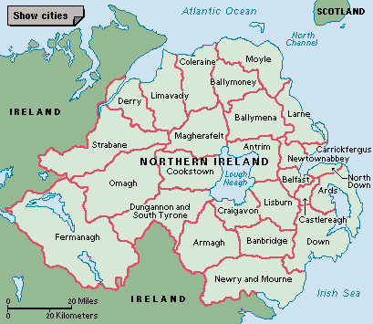
Antrim, County, is one of the six historic counties of Northern Ireland. It occupies the northeast corner of the island of Ireland. County Antrim ceased to be used as an administrative area when local government was reorganized in 1973. But local people continue to recognize the county as a distinct region and still refer to it as a county.
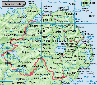
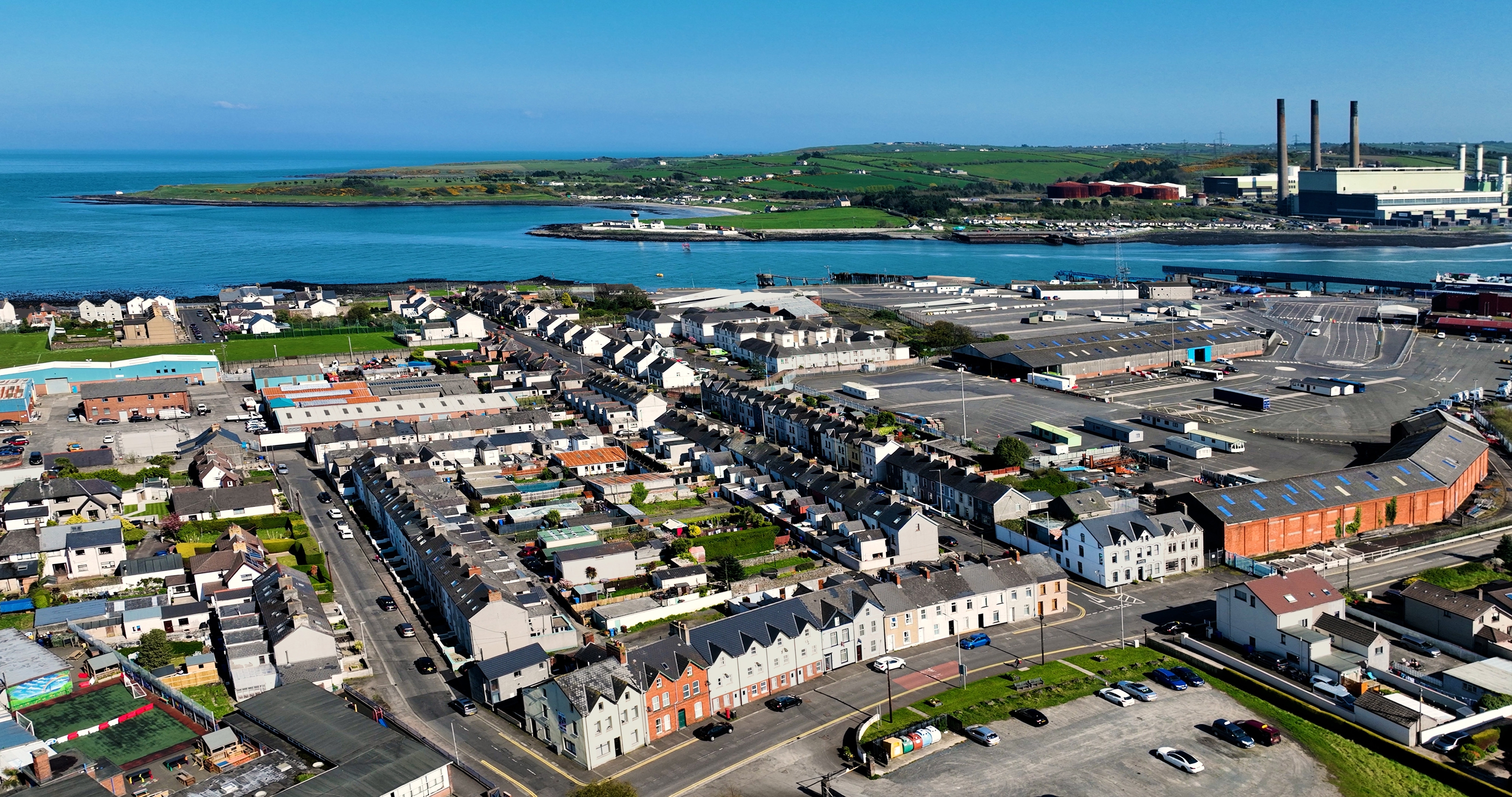
County Antrim covers 1,176 square miles (3,046 square kilometers). It is bounded to the north by the Atlantic Ocean, and to the east by the North Channel. Belfast Lough, an inlet of the North Channel, bounds the county to the south, and Lough Neagh (Lake Neagh) and the River Bann bound it to the west. At the narrowest part of the North Channel, County Antrim is about 12 miles (20 kilometers) from the Mull of Kintyre, an area at the southwest tip of Scotland’s Kintyre peninsula.
Some of the earliest settlers in Ireland came through Antrim from Scotland about 8,000 years ago. The Glens of Antrim region formed part of the early Gaelic kingdom of Dal Riada. The kingdom, established in the A.D. 400’s, stretched across the North Channel to Scotland. The Vikings raided the shores of Antrim beginning about A.D. 800. The town of Antrim, in the southern part of the county, has a round tower dating from Viking times.
In the 1100’s, Anglo-Norman settlers made the area part of the earldom of Ulster (see Norman Conquest). Many Scots moved into the area during the 1600’s. Antrim town was the scene of a battle between Presbyterian rebels and the British army in 1798. Later, many of the people who fought against the British became supporters of the cause of Irish union with Britain (now called the United Kingdom).
In the late 1900’s, much of the Antrim region became a seat of Ulster Unionism. The Unionists have sought to keep Northern Ireland part of the United Kingdom, and they are mostly Protestants. The Glens of Antrim, however, have remained largely Catholic and Nationalist. See Northern Ireland (History).
A reorganization of local government occurred in 1973. Most of County Antrim was divided into the districts of Antrim, Ballymena, Ballymoney, Belfast, Carrickfergus, Larne, Moyle, and Newtownabbey. Other areas of the county became parts of the districts of Castlereagh, Coleraine, Craigavon, and Lisburn. Another reorganization took effect in 2015. Today, most of historic County Antrim is covered by the local government districts of Antrim and Newtownabbey; Belfast; and Mid and East Antrim. Parts of two other districts—Causeway Coast and Glens, and Lisburn and Castlereah—also cover areas of the historic county.