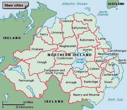
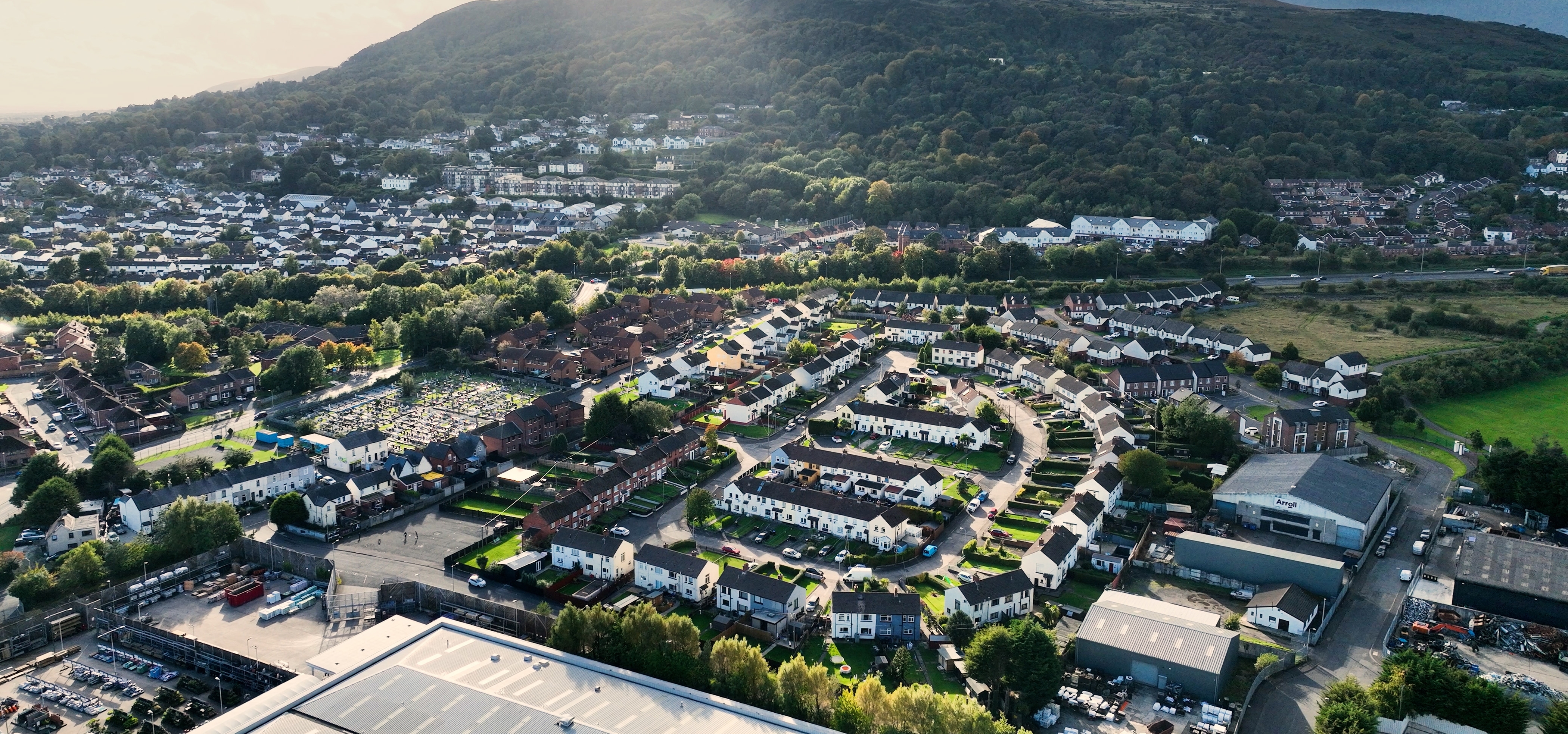
Newtownabbey is an urban area in eastern Northern Ireland, just north of Belfast. It lies west of Belfast Lough, an inlet of the North Channel.
In 1958, the national government of the United Kingdom created Newtownabbey by combining seven villages: Carnmoney, Glengormley, Jordanstown, Monkstown, Whiteabbey, Whitehouse, and Whitewell. The southern part of Newtownabbey has become a suburb of Belfast. Many people who work in Belfast live in southern Newtownabbey, which has varied light industries. In rural areas to the north, around the market town of Ballyclare, local farmers raise dairy cattle, hogs, and sheep.
Newtownabbey lies in County Antrim, one of Northern Ireland’s six historic counties. Counties ceased to be used as administrative areas in 1973, when county governments were replaced with smaller district councils. From 1973 to 2015, Newtownabbey was the name of a district council area administered from Ballyclare. In 2015, the local government districts of Newtownabbey and Antrim were combined to form a single district called Antrim and Newtownabbey.