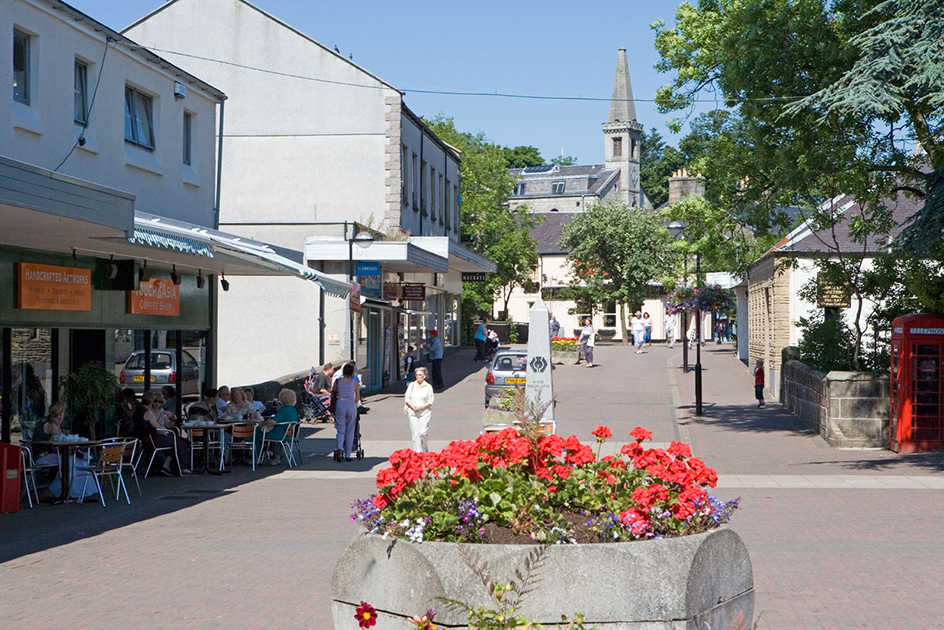
East Dunbartonshire (pop. 108,937), also spelled East Dumbartonshire, is a local government area in Scotland. It is a council area, the main unit of local government in Scotland. East Dunbartonshire lies north of Glasgow. Kirkintilloch is the administrative center of the area.

The Campsie Fells, a range of hills, cross East Dunbartonshire. A hill known as Earl’s Seat rises to a height of 1,896 feet (578 meters). Waterways in the area include the River Kelvin and the Forth and Clyde Canal. The West Highland Way footpath starts in Milngavie and winds some 95 miles (153 kilometers) north to Fort William.
The Roman Empire established outposts in the East Dunbartonshire area during the A.D. 100’s. Ruins from this period still exist near Bearsden. Parts of the Antonine Wall, which marked the northern border of the empire in Britain, stand in East Dunbartonshire.
The towns of Bearsden and Lenzie grew up around railroad stations for Glasgow commuters in the mid-1800’s. Bishopbriggs sent the sandstone from its quarries by rail to Glasgow. Kirkintilloch exported its iron throughout the world. Milngavie began as an industrial center. Milton of Campsie grew after the opening of a plant to make calico fabric in 1786. It grew again after the opening of the rail link to Glasgow in 1848.
The area that is now East Dunbartonshire was part of the county of Dunbartonshire. In 1975, the county ceased to exist as an administrative region and became part of the larger Strathclyde Region. In 1996, East Dunbartonshire was created as part of the system of council areas, and the Strathclyde Region ceased to exist as an administrative region.
