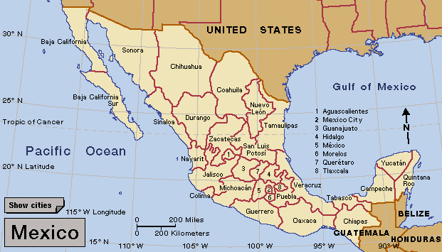
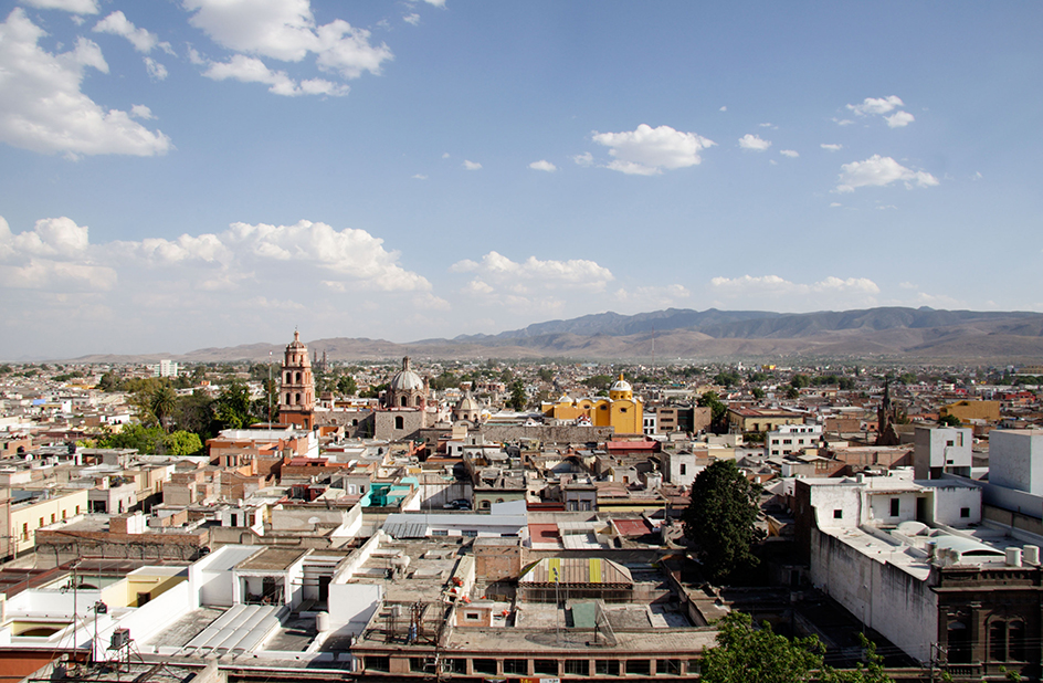
San Luis Potosí, << SAHN loo EES `poh` toh SEE, >> is a state in central Mexico. It has an area of 24,351 square miles (63,068 square kilometers). At the time of the 2020 census, the population was 2,822,255. The Sierra Madre Oriental, a mountain range that runs parallel to the coast of the Gulf of Mexico, dominates the eastern part of the state and the Central Plateau dominates the west. San Luis Potosí’s climate is warm and extremely dry in the west and hot and humid in the east. The state’s capital is also named San Luis Potosí.

Mining is the chief economic activity in San Luis Potosí. Important mineral products include gold, silver, and heavy metals. Other industries produce automobiles, processed metals, and textiles. Farmers raise cattle and sheep. In the eastern part of the state, they grow sugar cane and other tropical crops for sale. Tourists visit the capital to admire its colonial architecture, but the state is not a major travel destination.

Before Spain colonized what is now San Luis Potosí in the 1500’s, Chichimec and Huastec Indians lived in the region. Today, San Luis Potosí is home to their descendants. Spaniards began mining gold and silver in the area in the 1500’s. San Luis Potosí became a state of Mexico in 1824. During the 1920’s and 1930’s, revolutionary generals who sought national power competed for control of the state. San Luis Potosí was also the site of a rebellion, led by Saturnino Cedillo, against the national government of President Lázaro Cárdenas. Government soldiers defeated Cedillo’s private army in 1938.
