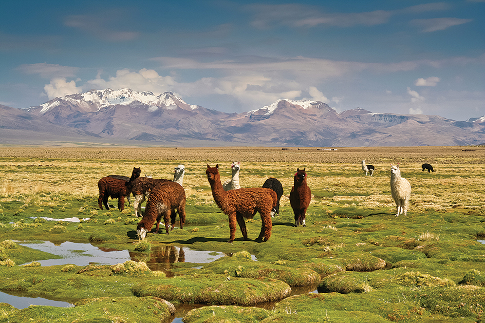
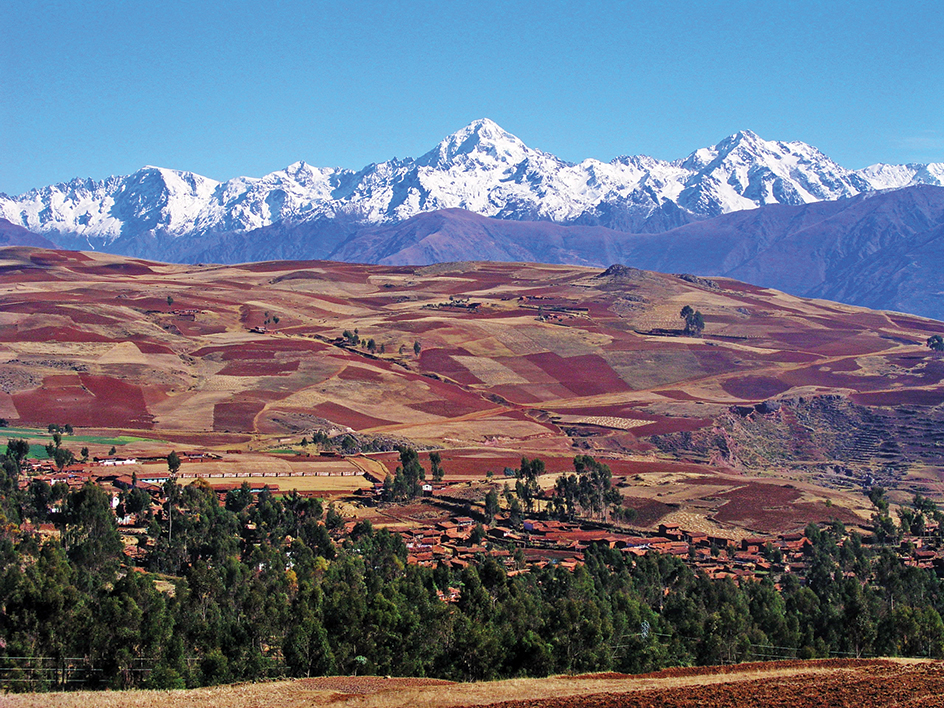
Altiplano, << ahl tee PLAH noh, >> is a wide plateau in the Andes Mountains of South America. Its name is Spanish for high plane. The Altiplano covers southeastern Peru, western Bolivia, northeastern Chile, and northwestern Argentina. The Altiplano is one of the highest and largest plateaus in the world. Its elevation ranges from about 11,000 to 13,000 feet (3,300 to 4,000 meters), and it covers about 65,000 square miles (170,000 square kilometers).

Snowcapped mountains and volcanoes surround the Altiplano. Rain that falls on some of the mountains drains into the Altiplano to create the large Lake Titicaca and the ephemeral Lake Poopó. An ephemeral lake usually is dry but has water during the wet season or for certain periods. The Altiplano is cold and windy. In the south, the climate is semiarid (slightly less dry than a desert). Some areas are rocky with little vegetation.
The northern part of the Altiplano, near Lake Titicaca, has always had a larger population than the southern part. Large indigenous (native) civilizations have flourished around Lake Titicaca. For example, the Tiwanaku (also spelled Tiahuanaco) culture had reached its peak in this region by A.D. 800. The northern Altiplano made up part of the Inca empire until Spaniards conquered the region in the 1530’s.
Today, indigenous peoples make up most of the population of the Altiplano. They speak such native languages as Quechua or Aymara in addition to Spanish. Many work as farmers, growing barley and potatoes during the rainy season, which lasts from December to March. They also raise cattle and sheep. La Paz, one of Bolivia’s largest cities, stands at the northeastern edge of the Altiplano, at an elevation of more than 12,000 feet (3,600 meters). Many people in the Altiplano, including La Paz, are extremely poor and lead difficult lives.

