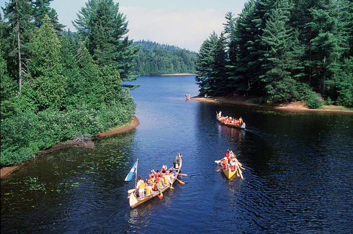
La Mauricie, << lah mawr ee SEE, >> National Park is a protected area in southern Quebec, Canada. It covers 132,400 acres (53,600 hectares) of land about 70 miles (113 kilometers) west of Quebec City and about 120 miles (193 kilometers) north of Montreal. The Laurentian Mountains and more than 150 lakes extend across the park.

La Mauricie National Park is part of the Canadian Shield, a huge, rocky region formed millions of years ago. The Matawin River borders the park to the north, and the St. Maurice River flows along the eastern edge. The park has hot summers and cold, snowy winters. Average temperatures range from 0 to 82 °F (–18 to 28 °C).
Forests in the southern part of the park contain sugar maple and yellow birch trees. Balsam fir, pine, and spruce trees grow in forests farther north. Moose, black bears, beavers, weasellike fishers, and wolves are some of the mammals that live in the park. Nearly 180 kinds of birds can be found, including hawks, ospreys, and ravens. Wood turtles and painted turtles make up part of the reptile population. Brook trout is the most common native fish species in the park.
Visitors to La Mauricie National Park take part in such recreational activities as canoeing, cross-country skiing, fishing, hiking, mountain biking, and swimming. Interpretive programs provide visitors with cultural, environmental, and historical information. Accommodations in the park include campgrounds and two lodges.
The government of Canada established La Mauricie National Park in 1970. Park headquarters are in Shawinigan, about 15 miles (24 kilometers) south of the park.
