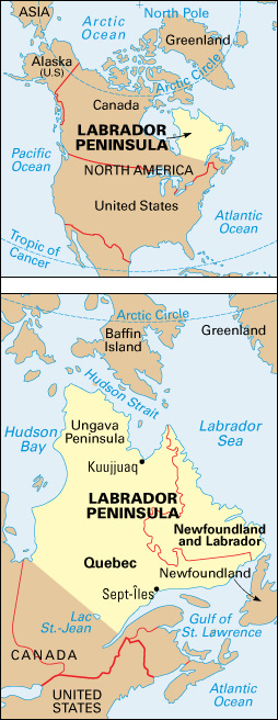
Labrador Peninsula is a large peninsula in eastern Canada. It is bounded on the northeast by the Labrador Sea, on the southeast by the Gulf of St. Lawrence, on the north by Hudson Strait, and on the west by Hudson Bay. The peninsula, which covers about 540,000 square miles (1,400,000 square kilometers), is sparsely populated. It is divided between two provinces: (1) Newfoundland and Labrador, in the east, and (2) Quebec.

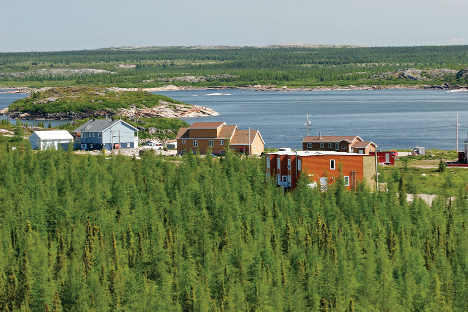
The Labrador Peninsula is part of the Canadian Shield, a huge, rocky area that curves around Hudson Bay. The northern part of the peninsula is a tundra—that is, a cold, dry, treeless region. The area has long, bitterly cold winters and short, cool summers. The interior of the peninsula includes tundra and forests. It has long, cold winters and short, warmer summers. Southern coastal areas include peatlands and subarctic forests and have a milder maritime climate affected by the Atlantic Ocean.
Before Europeans reached the Labrador Peninsula, Indigenous (native) peoples already were living there. Inuit controlled the northern and coastal areas, and Innu inhabited the interior. Europeans, notably the Basques and the French, began fishing, hunting, and trading in the region in the late 1400’s. France claimed the peninsula until the mid-1700’s, although Britain (now also known as the United Kingdom) controlled parts of it. The Treaty of Paris made the entire peninsula British territory in 1763.
In the 1800’s, the new Dominion of Canada took over most of the peninsula. A British governing body set the present border between Labrador (the mainland part of Newfoundland and Labrador) and Quebec in 1927.

Throughout the 1800’s, people from the island of Newfoundland fished off the coast of the Labrador Peninsula. In the late 1800’s, farmers settled in the Lac St.-Jean region of southern Quebec. Conditions on the Canadian Shield limited farming. However, forestry, mining, smelting, and water power helped the economy of the peninsula develop.
See also Newfoundland and Labrador; Quebec.
