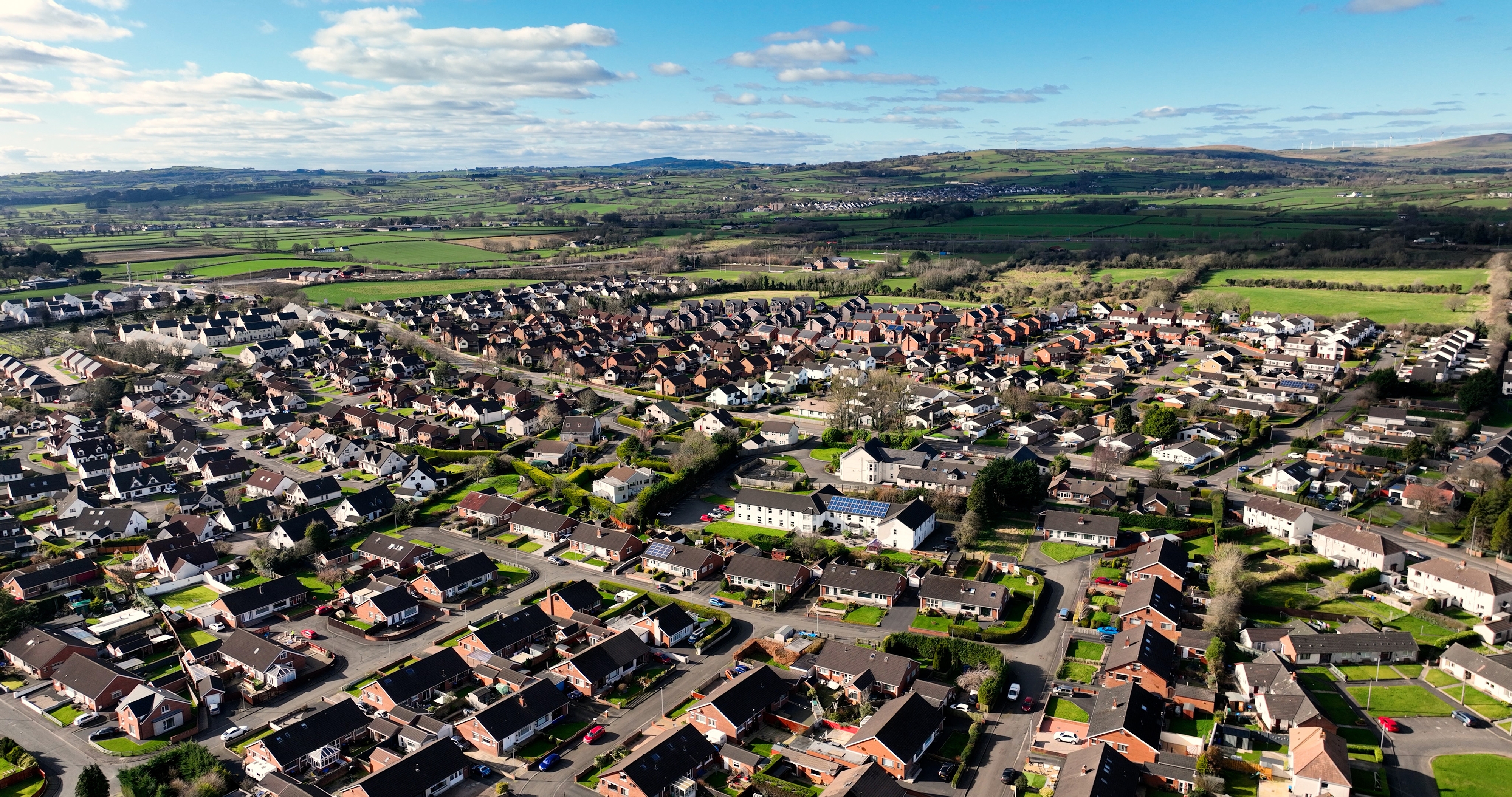
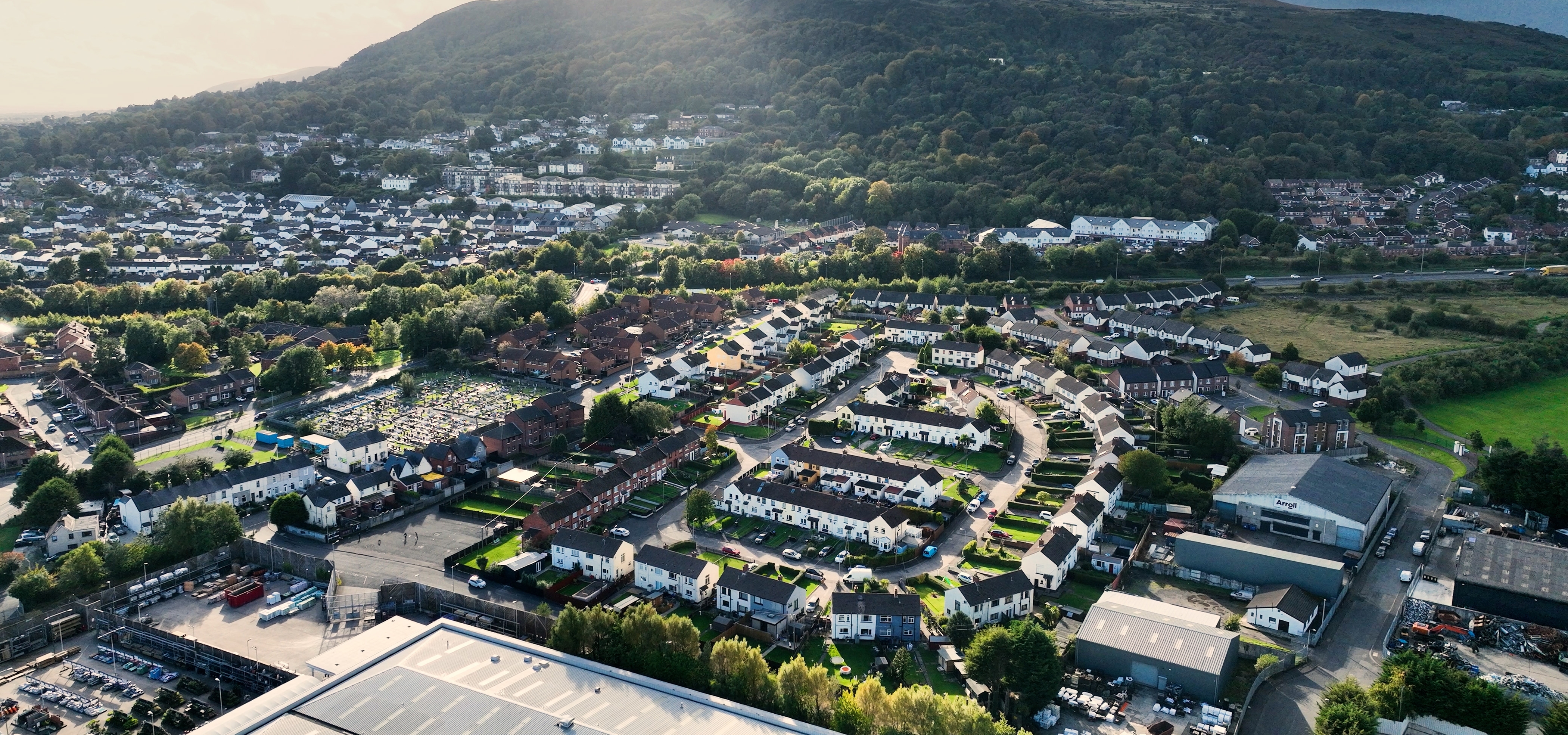
Antrim and Newtownabbey is a local government district in east-central Northern Ireland. At the time of the 2021 census, the district’s population was 145,661. The district lies north and west of Belfast. It covers the area between Antrim, on the eastern shore of Lough Neagh (Lake Neagh), to Newtownabbey, on the western shore of Belfast Lough (Lake). Belfast Lough is an inlet of the North Channel of the Irish Sea. The district has an area of 220 square miles (571 square kilometers).


The district’s headquarters are in the historic town of Antrim. Southern areas of the district form part of suburban Belfast. In 1958, the national government created Newtownabbey by combining seven villages: Carnmoney, Glengormley, Jordanstown, Monkstown, Whiteabbey, Whitehouse, and Whitewell. In the north of the district, near Ballyclare, farmers raise dairy cattle, hogs, and sheep.
Most of Antrim and Newtownabbey’s workers are employed in service industries, which include education, health care, government services, finance and real estate, hotels and restaurants, and retail and wholesale trade. The manufacturing and construction sectors also employ many people.
The district is part of the traditional County Antrim, one of the six historic counties of Northern Ireland. In 1973, County Antrim‘s administration was abolished when county governments were replaced with smaller district councils. In 2015, the Antrim and Newtownabbey districts were combined to form a single local government district called Antrim and Newtownabbey.
