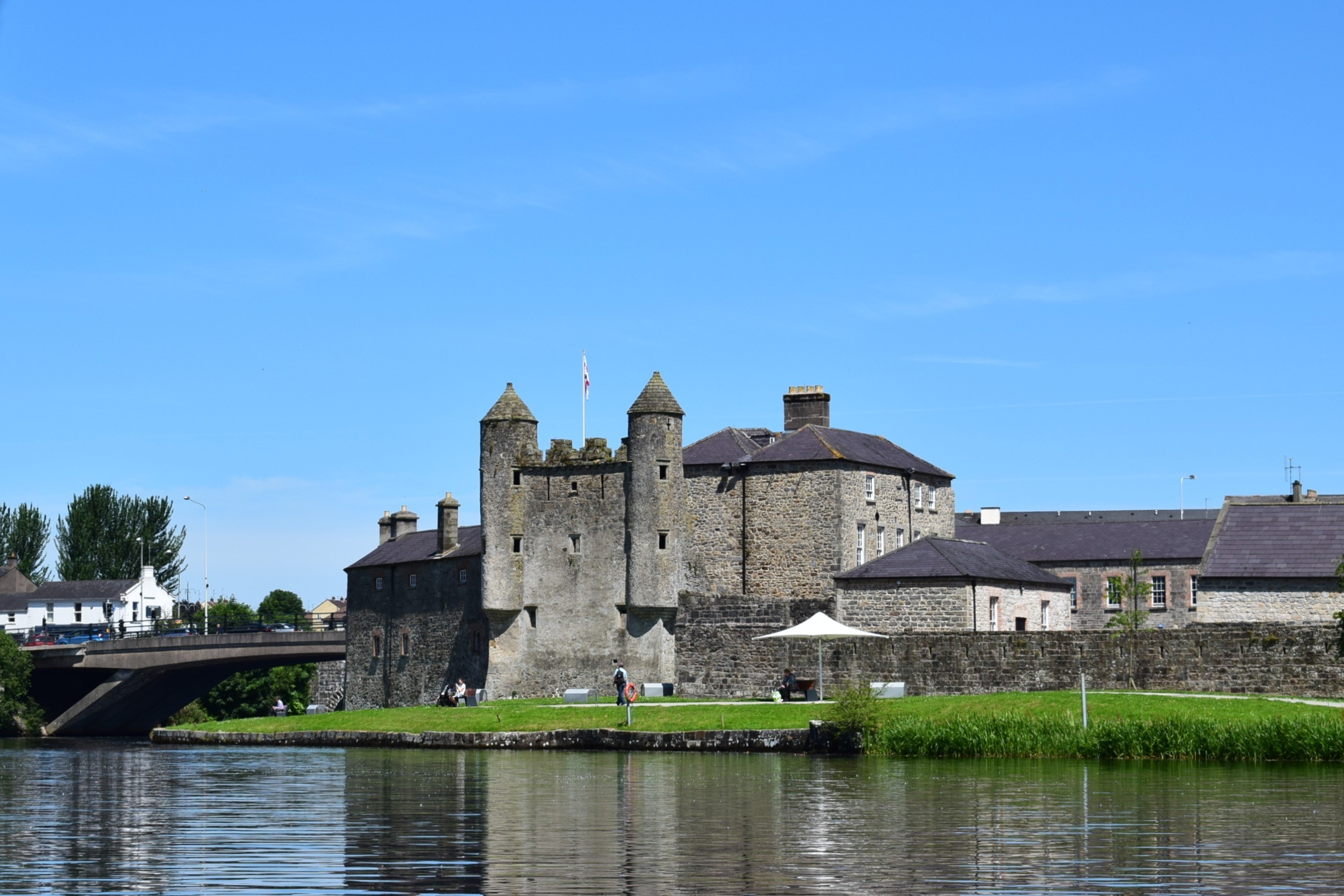
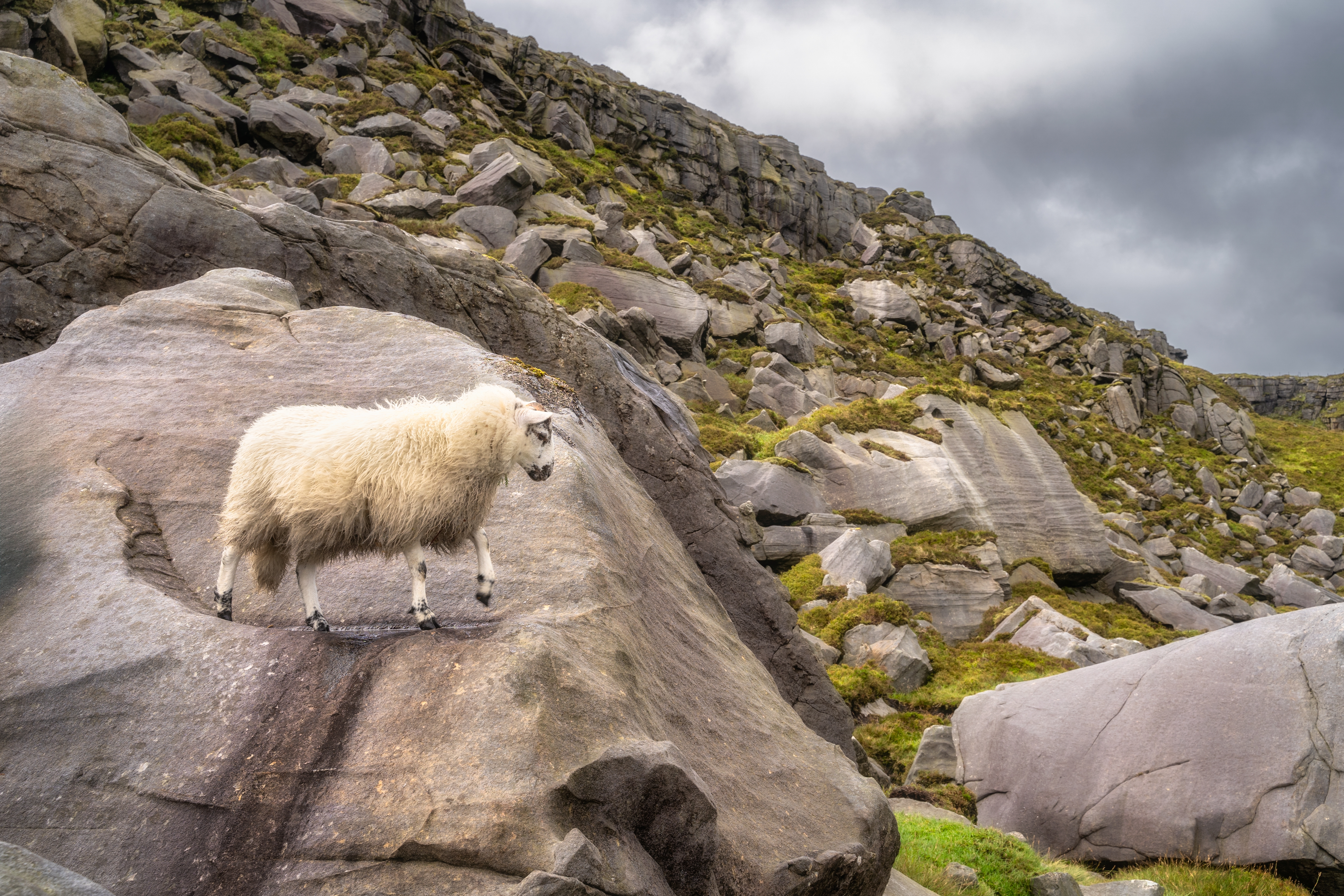
Fermanagh and Omagh is a local government district in southwestern Northern Ireland. It is the largest and most rural of Northern Ireland’s 11 districts. The district covers an area of 1,095 square miles (2,836 square kilometers). At the time of the 2021 census, Fermanagh and Omagh’s population was 116,812. Its headquarters are in Enniskillen.


The western part of the district includes areas traditionally covered by County Fermanagh. Enniskillen is its main town. It includes the basin of the River Erne and the lands surrounding two large lakes, Upper Lough Erne and Lower Lough Erne. The northeastern section of the district includes Omagh, the county town (administrative and market center) of the former County Tyrone. The Omagh area is dominated by the Sperrin Mountains and attracts many tourists. A number of small, charming market towns, including Belleek, Fintona, Irvinestown, and Sixmilecross, are found throughout the district.
Service industries—including education, health care, government services, hotel and food services, real estate, trade, and transportation—employ most of the district’s workers. Manufacturing and construction are also important employment sectors. Agriculture has historically been more important in Fermanagh and Omagh than in any other district. Many areas depend on mixed farming—that is, the raising of various crops and animals.
The present district of Fermanagh and Omagh covers historic County Fermanagh and part of historic County Tyrone. The counties ceased to be used as administrative areas when local government was reorganized into smaller districts in 1973. In 2015, the Fermanagh district joined with the Omagh district to form the Fermanagh and Omagh local government district.
