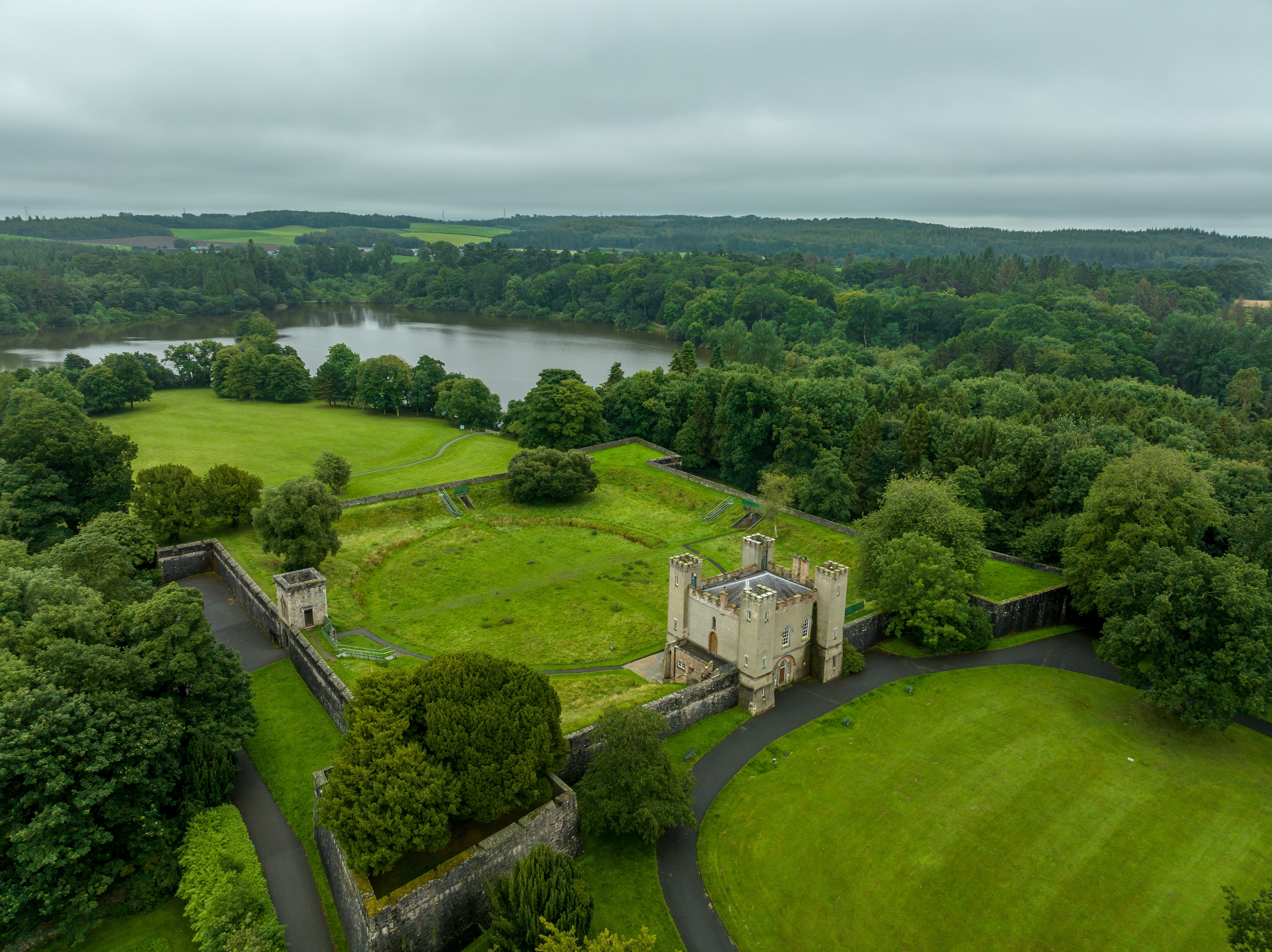
Lisburn and Castlereagh is a local government district in eastern Northern Ireland. The district, which lies south of Belfast, covers an area of 195 square miles (504 square kilometers). At the time of the 2021 census, the population of Lisburn and Castlereagh was 149,106. The district’s northwest corner borders Lough Neagh, the largest lake in Northern Ireland.

Lisburn is the district’s main city and administrative center. It lies on the River Lagan, which forms the border between the historic, former counties of Antrim and Down. Other towns in the Lisburn area include Dunmurry, Hillsborough, and Moira. The historic Castlereagh area lies southeast of Belfast. The rural areas of Castlereagh have dairy and crop farming.
Most of the district’s workers are employed in service industries, which include communications, education, health care, government services, finance and real estate, hotels and restaurants, and retail and wholesale trade. The manufacturing and construction sectors also employ many people.
Counties Antrim and Down ceased to be used as administrative areas when local government was reorganized into smaller districts in 1973. In 2015, the Lisburn district joined with the Castlereagh district to form the Lisburn and Castlereagh local government district.
